Following in the footsteps of the Romans
The existence of an aqueduct that transported water from the basin of the Guadalaviar river to the Cella plateau has been known since ancient times. There are references, for example, in the Poem of Mio Cid, in which the town was called ‘Celfa del Canal’, and in other works by local scholars. But mainly it has been known by the excavations carried out at the different phases along its route, which date it to the 1st century A.D. and have provided information about its use and layout.
The aqueduct almost certainly has its source in Albarracín, an important aquifer that guaranteed sufficient and permanent flow throughout the year; it finished in present-day Cella, with a total length of approximately 25 km. The topography, the type of terrain and the calculation of the ideal slope are adopted according to its route, and they are modified on the basis of the contours, avoiding obstacles and conducting the water in a natural way, despite the orography.
Some sections of the aqueduct have been exceptionally conserved (under Santa Croche castle in the so-called gallery of mirrors, next to the tunnel on the road, at Gea dam, Los Burros ravine, la Cañada de Monterde, at Las Hoyas, La Tejeria or in the areas of Cella itself), with different construction techniques, although the gallery is dominated by rock, with side windows (spiramina or lumina) that served to dig the interior and to extract rock, and during its use to clean and remove lime and other materials.
From La Cañada de Monterde, the specus is completely underground, traversing the hills that separate Gea from Cella, at an average depth of 25 metres, but which can reach 60 metres in central areas. This section is marked by the existence of so-called Hoyas (shafts), well known for decades and linked to the canal. The shafts (putei or spiraculi) were excavated every 20/40 metres (closer in curved sections or sections with a steep surface slope, further apart in straight sections). They allowed for several sections to be built simultaneously.
The galleries (cuniculi) have common characteristics: they are dug in limestone and are between 170 and 220 cm high, and between 80 and 125 cm wide. Spillways have also been documented to control the flow, and diversion channels, possibly for agricultural uses, with traces for the housing of gates and small walls that facilitated the decanting of impurities, preventing them from entering the galleries and obstructing them.
The last shafts are located in the area called La Tejeria, and from that point, the channel runs in the open, excavated in rock or clay. The aqueduct reaches the main square of Cella, where it was located with remarkable dimensions internally coated with opus signinum.
The general slope or inclination of the aqueduct (libramentum) has been fixed at two per thousand, although with notable differences and corrections in different sectors. The combination of dimensions, inclination and friction index allows a maximum flow rate of 267 litres per second to be calculated, approximately 23,000 m3 per day, which is really remarkable. This aqueduct could supply water to up to 95,000 inhabitants; however, Cella did not reach this figure, and therefore the majority was destined for irrigation.
The aqueduct is one of the greatest feats of hydraulic engineering of the Roman Empire. Both because of its size and the technical complexity adopted in order to resolve significant difficulties arising from an abrupt topography and a very diverse terrain.
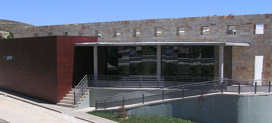
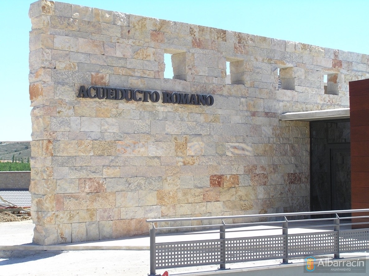
To this end, both the Government of Aragon, as well as the municipalities of Albarracín, Cella and Gea de Albarracín, have formed a community to manage the aqueduct itself, as well as set up different sections. There is also a visitor centre at Gea de Albarracín to be able to understand this great work inherited from our ancestors.
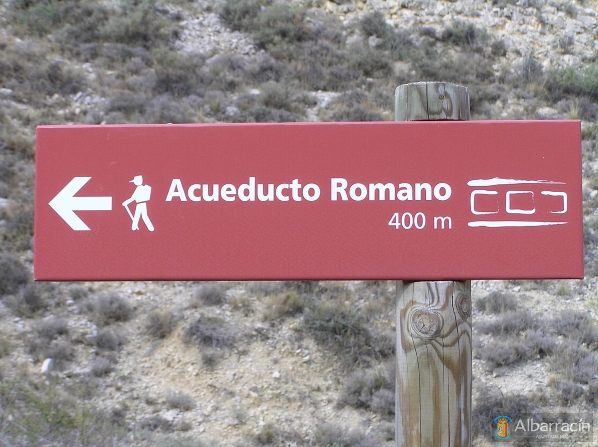
Along the entire route of the aqueduct there are seven stretches adapted for visitors (see map), where interpretation tables have been provided that inform about the characteristics and construction techniques of the aqueduct:
Section I: Azud (dam) del Albergue de Albarracín: On this stretch you can see the area from where the aqueduct collected water from the Guadalaviar river, although the current dam is not Roman.
Section II: Mirror gallery and tunnel near Santa Croche castle. In this area you can visit the part of the aqueduct dug into the rock.
Section III: Azud (dam) de Gea de Albarracín. The aqueduct runs, dug in the rock, parallel to the steep mountains along the river with many windows for ventilation, or ‘lumina’, at regular intervals.
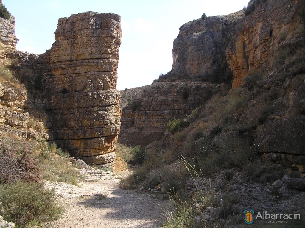
Section IV: Barranco de los Burros. This is probably the most spectacular section of the aqueduct, where it is dug in the rocks so as to adapt it to the terrain and follow the curve of the ravine.
Section V: Cañada de Monterde and Las Hoyas. The aqueduct is still underground and in this section it is possible to see the ventilation shafts, in some cases of considerable depth.
Section VI: La Tejería. Here you can see the aqueduct’s last two shafts before it comes back above ground.
Section VII and Section VIII: Las Eras de Cella. The aqueduct continues running in the open towards Cella.
For more information, you can visit the website of the Roman Aqueduct Visitor Centre located in Gea de Albarracín: